URBAN PLANNING
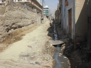
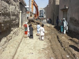
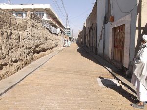
Urban planning is a tool to promote orderly, efficient, equitable and sustainable urban development. However, aspects of the Afghan context, such as the fact that urban land is often highly contested, and governed by a weak and ambiguous regulatory framework, present formidable barriers to effective spatial planning. To date, master planning for Afghanistan’s cities has been hampered by inadequate consultation of key stakeholders, including municipalities and communities, during their preparation, as well as a lack of government enforcement and implementation capacity. Updating master plans is also a costly and time-consuming exercise, requiring specialized technical capacity. As such, master plans in Afghanistan tend to have little influence on guiding urban growth and quickly become out-dated. Figure 4.6 shows urban growth between 2008 and 2014 in Kandahar. Between 2011 and 2014 a very large area (Aino Mina Phase 2) with over 10,000 plots was added to the city but it still consists mainly of vacant plots. 1980 Kandahar master plan boundary compared to actual land use in 2008 shows that considerable urban growth took place between 1980 and 2008, and whilst some of that was in accordance with the master plan, the majority occurred in areas not planned for urban expansion. In 2008, 58% of built-up urban area was outside the 1980 master plan, demonstrating the plan’s ineffectiveness in guiding and containing urban growth within the master plan boundary. There are a range of formal and informal approaches to residential development in Afghanistan’s cities.
Relevant
Municipal Governance Support Programme (MGSP)
Kabul Strengthening Municipal Nahias Program (K-SMNP)
Future of Afghan Cities Programme 2016
State of Afghan Cities Programme 2015
Publications: Atlas of Afghan City Regions 2016 – State of Afghan Cities Report 2015; Volume One English & Dari – Volume Two
Knowledge Notes: Series One – Series Two
News: Launch of Atlas of Afghan City Regions